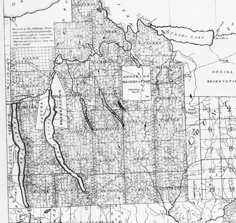
After the Revolutionary War, the state of New York granted parcels of land to resident officers and soldiers who had fought in the war. Dryden was one of those townships. (It appears bottom center in Simeon De Witt's map below.) Each township was surveyed into 100 lots, and lots were (usually) square parcels 600 acres in size, so the length of each side of a lot was a bit less than one mile.
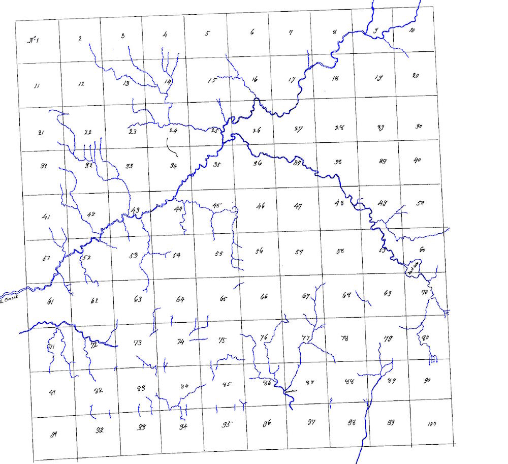
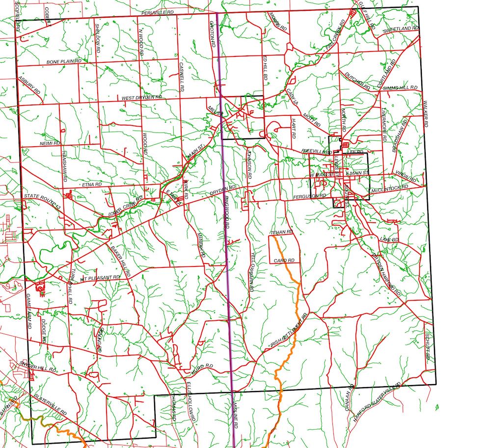
In 1790 John Konkle produced the survey map you see on this page (see the original). The creeks draining south toward the southern part of the map in lots 67, 76, 77, 86, 87, and 97 form Six Mile Creek (shown in orange in the modern map).1
At the top of the map, in lot 25, you can see the confluence of several tributaries of Fall Creek. Lot 26 became the Village of Freeville.
If you pull the slider to the right, you will disclose a modern day hydrographical map of the same area, including some roads. Although some of the differences between the maps may be due to shifting creek beds, keep in mind that Konkle travelled on horseback with compass and chain2, while we have photos taken by satellites. He surveyed only the borders of the lots, so his representation of the interiors was bound to be less accurate.
His grid is rotated with respect to a north-south axis; it was aligned to magnetic north2 (instead of true north), which was about 2.5° withershins3 in 1790.
Many of the roads, especially in the upper-left part of the modern map, are aligned and spaced to Konkle's grid, bearing witness today to the 18th century survey. In the Six Mile Creek watershed, a line formed by Midline Road, Hollister Road, Cornelius Road, Ringwood Road, and the west edge of the Village of Freeville (shown in purple) lies along the border between the fifth and sixth column of Konkle's grid, which border is the mid-line of the town.
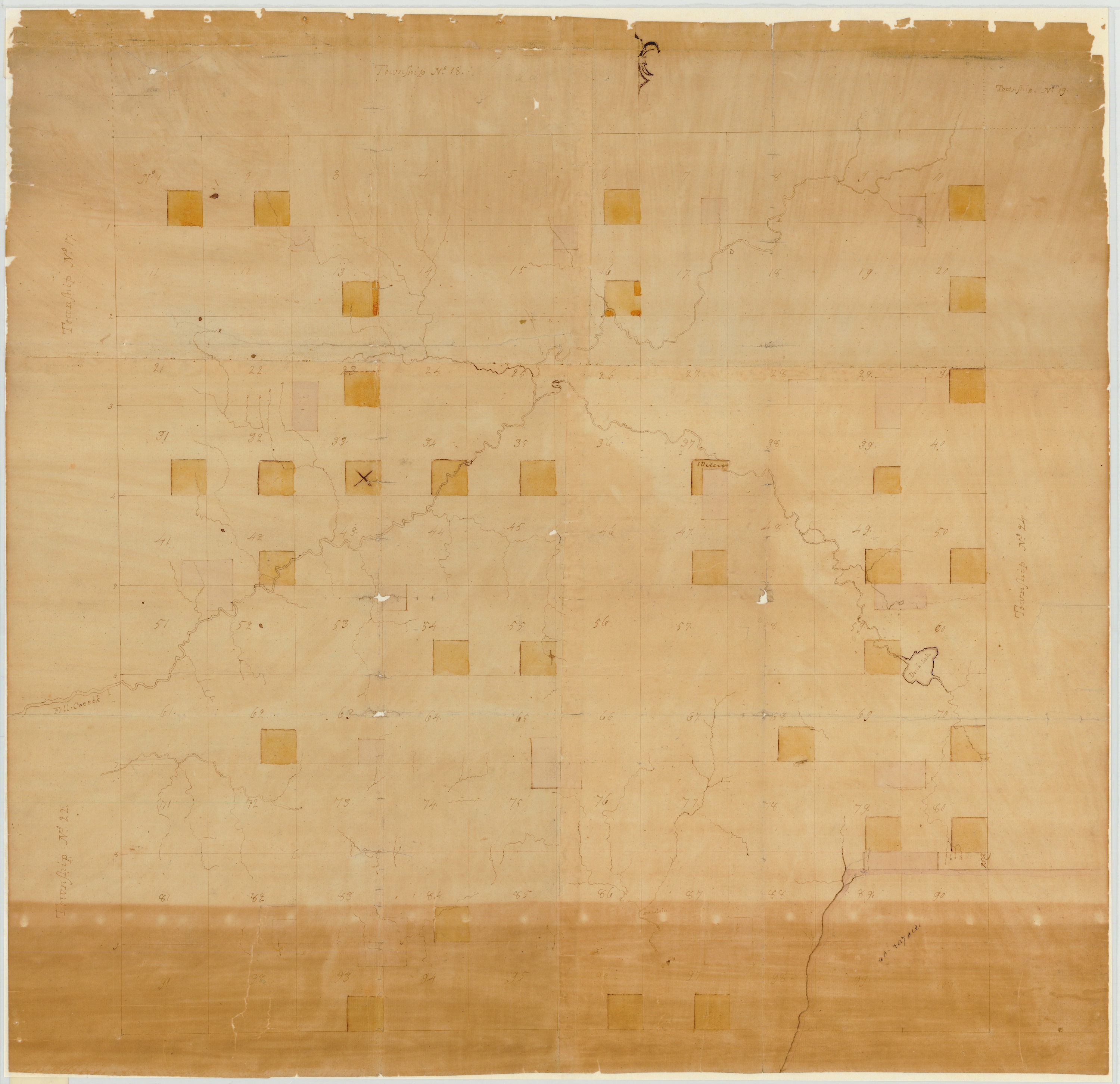
- A high quality scan of the original map is available at the New York State Archives.
- David Y. Allen, How Simeon De Witt Mapped New York State
- counter-clockwise